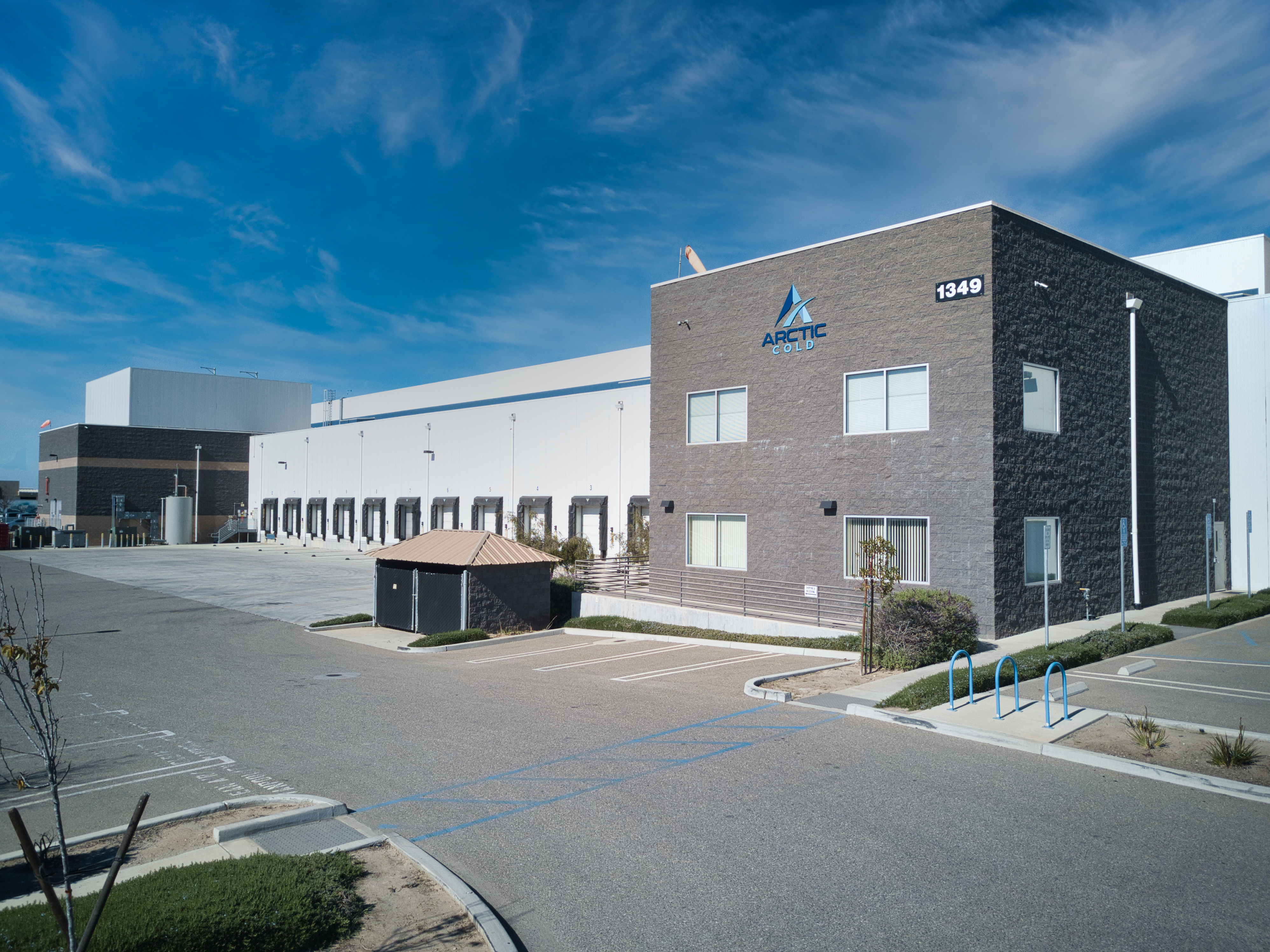
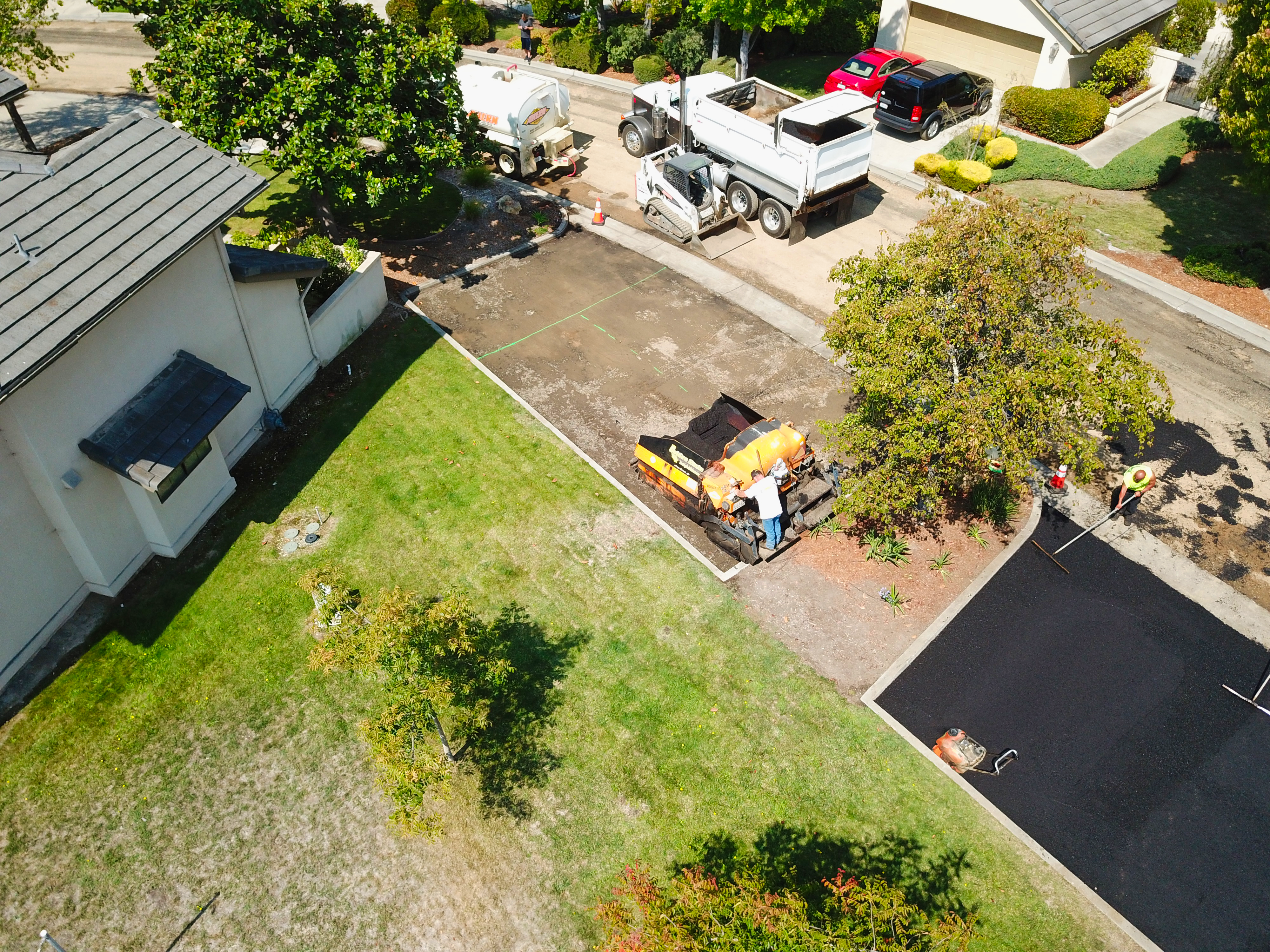
The Sky's The Limit

Aerial Services For Every Industry

SOLUTIONS FOR EVERY

SIZED PROJECT

Serving the Central Coast Since 2016

Golden State Drone Services has the solutions and expertise to help you capture beautiful aerial images and data. We provide pricing and packages for every industry and for projects of every size. We are proud to be servicing the central coast of California

Flying Drone

SERVICES

Two Day Turnaround On Most Projects!

Residential & Commercial
Real Estate

Comprehensive real estate packages starting at just $150!

Learn More
Agriculture

Get real time actionable data by utilizing stand counts and crop health analysis.

Learn More
Construction

Track progress with weekly progress images and hyperlapses. Save time and money with actionable insights in as little as 24 hours.

Learn More
field

Fully Insured

Coverage ranging from 1M-5M.

We are proud to partner with SkyWatch.ai to provide aviation insurance for all projects up to 5M in coverage. Golden State Drone Services also carries general commercial liability insurance for projects that require it.

Contact Us

AG Services

Get a detailed map of your field, conduct stand counts, identify variability, and make data-informed recommendations.

Before even entering the field, identify possible threats to yield from the cab of your truck. Scout your field in minutes to find risks to yield before they become an issue. In an automatic report, quantify and tag concerns, then track the impact of treatment strategies over the course of the season.

Read More
field
field

Construction Services

Get real world actionable data!

Save time, reduce costs, and improve communication by accessing real-time interactive imagery that document every step of your project. Identify possible problems before they become one with 3D virtual models and maps, hyperlapse/time-lapse video, orthomosaic imaging, stockpile analysis, and much more.

Contact Us

Portfolio

Pool in backyard
Industrial Building
Construction image 1

Frequently Asked Questions

Aerial images of any property or construction are highly valuable. Thats why hiring a prfessional, FAA licensed, and insured drone pilot is so important!

No matter what package you select, you get a dedicated and professional FAA part 107 certified pilot and rights to all content which may include high-resolution aerial images as well as HD 4K video.

Most of our projects have a two day turnaround time from completion of the flight. However, more advanced/ complex projects that involve a large number of images or detailed photo editing may take longer.

Photogrammetry is a technique to obtain reliable data of real-world objects in the environment by creating 3D models from photos. By combining enough overlapping images of the same features, photogrammetry software can be used to generate photorealistic 3D representations of topographic surfaces. virtually document every stage of your construction project, capture every angle of your asset, or visualize your entire field.

Yes! We will work with you to create solutions that perfectly suit your needs. Just give us a call!